Home
A very hearty welcome to the Thurnham Parish Website
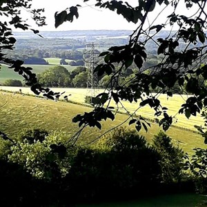
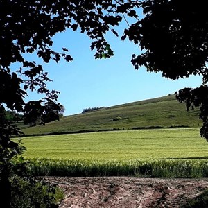
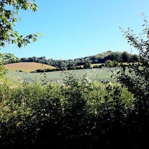
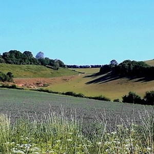
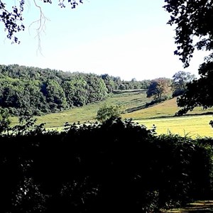
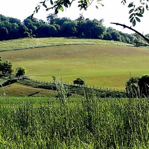
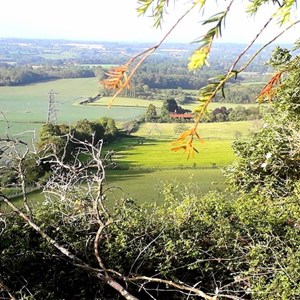
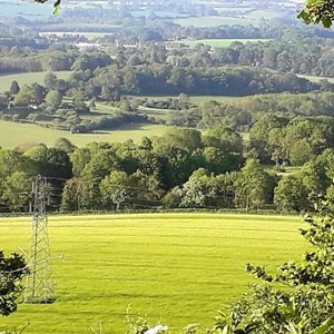
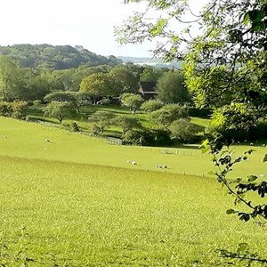
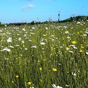
Thurnham Parish is located in a beautiful and secluded area of Kent and is just 3 miles north east of the County Town of Maidstone. The Parish covers an approximate area of 3194 acres, the majority of which lies within the Kent Downs Area of Outstanding Natural Beauty, and the North Downs Special Landscape Area. The famous Pilgrims Way runs through our Parish and attracts many ramblers who often stop to explore the ruins of Thurnham Castle and Thurnham village that has much to offer visitors.
Thurnham Parish is surrounded by the Parishes of Detling, Stockbury, Hucking, Hollingbourne, Bearsted and Boxley. It has a population of 839 electorates and 474 residencies.
National Grid Coordinates: TQ 810 584
Community Governance Review (Parishes)
Proposal 9a - THURNHAM
Consider Southwest Thurnham around the Weavering Street area. This area has a different
feel to the rest of rural Thurnham, and there has been significant development in the area
over a period of time.
The initial proposal was to change the parish for this area to recognise it as part of the urban
development in this area. However, as discussed below a strong response from the Stage 2
consultation was received and it is clear that elements of the community here do not
identify with Boxley Parish or Grove Green.
Furthermore, the existing boundary is not a strong boundary passing as it does through the
middle of multiple properties and roads so an alternative boundary is required.
Assessment
Objective 1
Question 1 – The area is already parished.
Question 2 – The identity of this area is an important factor in where to draw the boundary.
Though the area is part of the urban extension of the town and has had significant
development over the years, it is clear that some parts of it identify with Bearsted and are
strongly supported by Thurnham Parish. Furthermore, Bearsted and Thurnham do have
historic links. The amended proposal therefore considers the properties with Bearsted
addresses and those with Weavering addresses in determining the route of the boundary.
Objective 2
Question 1 – The issue here is that the existing boundary has had significant development
build up around it and it is no longer fit for purpose as it runs through multiple properties.
The simplest way to amend this is to change the boundary to go around developments. The
fairest way of doing that in the absence of strong delineations between areas has been on
those properties addressed as Bearsted and those as Weavering.
Question 2 – A minimal amount of the boundary has been changed, and in the absence of a
strong road or natural boundary the delineation along address lines is the most practical.
Stage 2 Consultation Outcome
The stage 2 consultation outcome has been included in the assessment above. The
consultation was a significant majority against the proposal with a strong submission from
Thurnham Parish Council. Furthermore, there were consistent comments relating to identity
that have led to the revised proposal.
Final Proposal
A new proposal has been put forward as detailed in Map 9a

You can now contact Kent Police for all Wards and Officers here - https://www.kent.police.uk
To identify an officer, the postcode can be placed in Find Your Area, and this will bring up the ward for the area. To identify the team and officers for the area click ‘On the Team’.